



Ontario's Weather Forecast Says Up To 50 cm Of Snowfall Possible As -30 C Wind Chill Moves In
Multiple extreme cold warnings are in place for the province. 🥶❄️
Multi-day snow squalls will continue to bring in snow to Ontario as Arctic air sends temperatures plummeting in the province.
Ontario's weather forecast says prolonged snow squalls will continue this week, with 30-60+ centimetres of snow possible to accumulate through Thursday on top of what communities already got.
This comes as extreme cold warnings have been issued across the province, as the Arctic air that was hanging over Western Canada floods the Great Lakes.
The Weather Network is reminding Ontarians in the snowbelt regions that travel could be hazardous, with reduced visibility, on Wednesday as snow squalls persist.
"The Bruce and Niagara peninsulas, Prince Edward County and Parry sound will be directly affected by intense snow squall bands, with higher totals likely. Through the evening, regions may get hit hard with 20-50 cm of snow," says the weather outlet.
Areas on the Lake Superior shoreline will see the worst of it, with another 30-60+ centimetres of snow accumulation possible through Thursday.
"Consider postponing travel to snow squall-affected regions," says TWN.
Snow squall warnings have been issued for areas including Bruce Peninsula-Sauble Beach-Tobermory, Owen Sound-Blue Mountains-Northern Grey County, Kingston-Prince Edward, the Niagara region, Parry Sound-Muskoka and Sault St. Marie-Superior East.
"Prepare for quickly changing and deteriorating travel conditions," says Environment Canada in the warning.
On Thursday, areas along the shores of Lake Erie could see some "weak system snow," with a widespread dusting of less than 3 centimetres and another weak system Thursday night into Friday.
The snow comes as extreme cold grips the province, with multiple warnings issued across Ontario on Wednesday as wind chill values make things feel frigid.
"Extreme cold warnings are issued when very cold temperatures or wind chill creates an elevated risk to health such as frost bite and hypothermia," says Environment Canada.
Extreme cold warnings have been issued for areas including the city of Hamilton, Dufferin-Innisfil, Elgin, Halton-Peel, London-Middlesex, Waterloo-Wellington and Windsor-Essex-Chatham-Kent, where wind chill values are making things feel like -30 C.
In Toronto, the current temperature is a chilly -13 C, but conditions feel like -23 C with the wind chill.
Residents are being told to cover up if going outdoors and watch for cold-related symptoms including shortness of breath, chest pain, muscle pain and weakness, numbness and colour changes in fingers and toes.
According to TWN, things should warm up for the final week in January, when a milder pattern is expected.
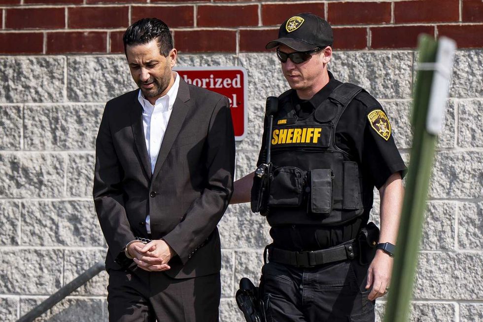 Luciano Frattolin is taken away in custody from the Essex County Court in Elizabethtown, New York on Friday, July 24, 2026. Luciano Frattolin charged with 2nd-degree murder and concealment of a human corpse.
THE CANADIAN PRESS/Christopher Katsarov
Luciano Frattolin is taken away in custody from the Essex County Court in Elizabethtown, New York on Friday, July 24, 2026. Luciano Frattolin charged with 2nd-degree murder and concealment of a human corpse.
THE CANADIAN PRESS/Christopher Katsarov Police officers open the back of a recovered truck during a press conference regarding Project 24K, a joint investigation into the theft of gold from Pearson International Airport, in Brampton, Ont., on Wednesday, April 17, 2024.
THE CANADIAN PRESS/Arlyn McAdorey
Police officers open the back of a recovered truck during a press conference regarding Project 24K, a joint investigation into the theft of gold from Pearson International Airport, in Brampton, Ont., on Wednesday, April 17, 2024.
THE CANADIAN PRESS/Arlyn McAdorey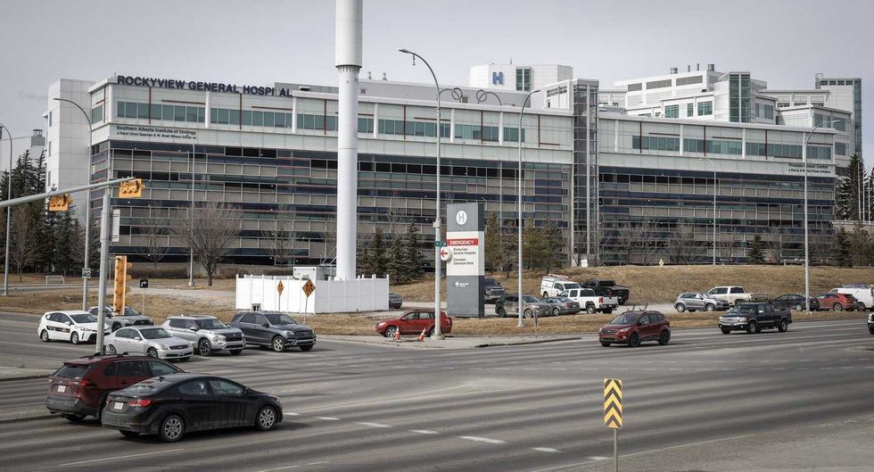 The Rockyview General Hospital is pictured in Calgary, Thursday, March 20, 2025.
THE CANADIAN PRESS/Jeff McIntosh
The Rockyview General Hospital is pictured in Calgary, Thursday, March 20, 2025.
THE CANADIAN PRESS/Jeff McIntosh This composite image shows, left to right, B.C. NDP Leader David Eby in Vancouver, on April 13, 2026; B.C. Conservative interim Leader Lorne Doerkson, in Vancouver, on Sept. 22, 2026; B.C. Green Party Leader Emily Lowan in Victoria, on Sept. 23, 2026.
THE CANADIAN PRESS/Darryl Dyck, Rich Lam, Kevin Light
This composite image shows, left to right, B.C. NDP Leader David Eby in Vancouver, on April 13, 2026; B.C. Conservative interim Leader Lorne Doerkson, in Vancouver, on Sept. 22, 2026; B.C. Green Party Leader Emily Lowan in Victoria, on Sept. 23, 2026.
THE CANADIAN PRESS/Darryl Dyck, Rich Lam, Kevin Light